
3D scanning
Accurate data, smarter engineering
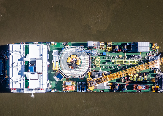
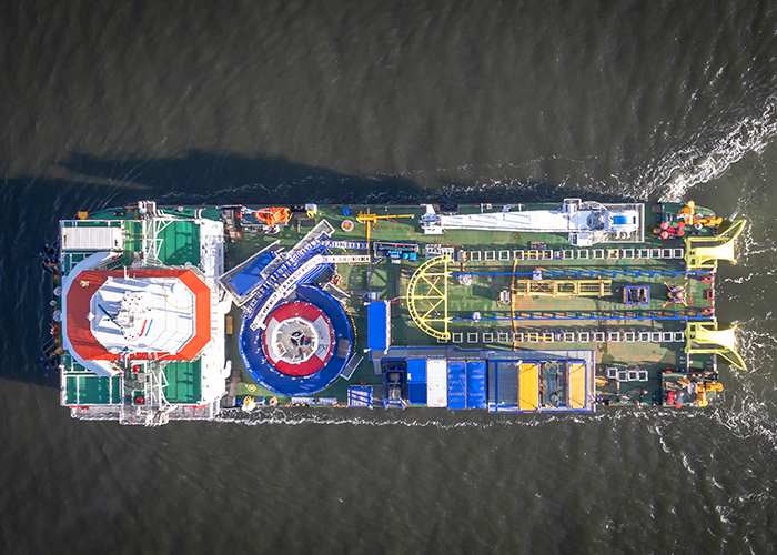
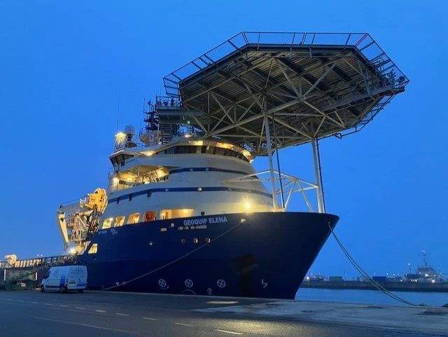
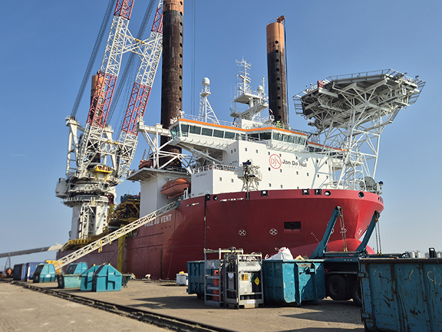
Successful maritime engineering starts with a clear understanding of the existing situation. Together with our partner Geomaat, we use 3D laser scanning to capture accurate onboard data and create detailed point clouds. By integrating this data into our engineering workflow, we can assess available space, verify existing structures, and design modifications with greater precision. Especially in ship conversion projects, where accurate knowledge of existing structures is essential. This allows us to identify potential clashes early, reduce unnecessary onboard measurements, and minimize costly adjustments during installation.
The result?
Smarter engineering, greater efficiency, and a smoother transition from design to execution.