
left-small-gray-img

3D scanning

Accurate data, smarter engineering

Successful maritime engineering starts with a clear understanding of the existing situation. Together with our partner Geomaat, we use 3D laser scanning to capture accurate onboard data and create detailed point clouds. By integrating this data into our engineering workflow, we can assess available space, verify existing structures, and design modifications with greater precision. Especially in ship conversion projects, where accurate knowledge of existing structures is essential. This allows us to identify potential clashes early, reduce unnecessary onboard measurements, and minimize costly adjustments during installation.


The result?
Smarter engineering, greater efficiency, and a smoother transition from design to execution.
Ship conversions

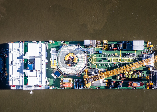
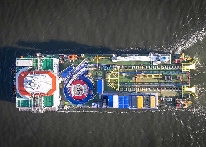
Why build new when an existing vessel can do more? At Saltwater Engineering, we transform vessels to meet new operational requirements. From initial feasibility studies to detailed engineering and installation support, we combine technical expertise with practical solutions to extend vessel lifespans, improve performance, and maximize existing assets.

Multi-purpose pontoon conversion NP459Cable repair vessel Curo

3D Scanning

From Insight to Impact

How can 3D scanning improve the accuracy and efficiency of maritime engineering projects? In this expert panel session, industry specialists share practical insights, real-world applications, and the benefits of working with accurate scan data.


Discover how 3D scanning turns complex challenges into smarter engineering solutions.

Our track record

Projects

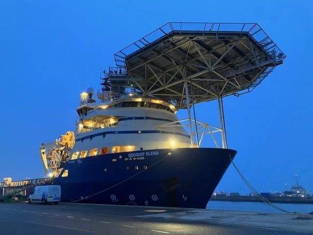
OSV Elena Mobilization

Discover the engineering behind the OSV Elena mobilization to a cable repair ship

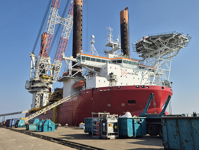
Bold Tern – Engineering for offshore wind mobilization

Saltwater supported the mobilization of the jack-up vessel Bold Tern for an offshore wind project.

3D-scanning

About Geomaat

Geomaat specializes in 3D laser scanning, creating accurate digital representations of ships and offshore structures. By capturing millions of measurement points, they provide a high detailed 3D pointcloud model of the existing situation on board. This makes it easier to plan modifications, identify potential obstacles, and ensure new equipment fits correctly. Their scanning expertise helps make ship conversions more efficient and predictable.